
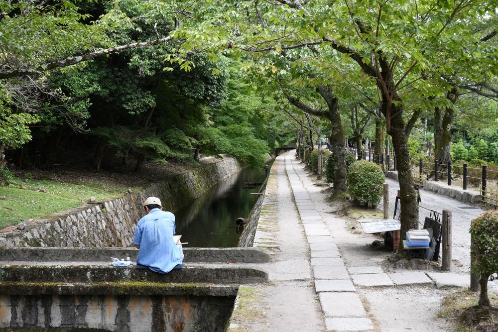
Philosopher’s Path Kyoto: Choose Your Walk
Choose a canal-only walk or add Ginkaku-ji and Nanzen-ji, with clear endpoints, transport connections and realistic seasonal expectations.
The Philosopher’s Path is easiest to enjoy when you decide whether the canal itself or a temple visit is the reason for going. For a walk with pauses, reserve around 60–90 minutes for the canal section. For Ginkaku-ji followed by the path, allow a half-day rather than squeezing both between distant reservations. Those are planning allowances, not an official walking time or a promise about queues.
The key geographical distinction is that Nanzen-ji and Keage Station are useful connections south of the path, not its endpoints. The official Kyoto destination page describes Tetsugaku-no-michi beside the canal between the Ginkaku-ji area and Nyakuoji Bridge. If your map shows a much longer walk, it probably includes those connections, temple grounds or another station.
Use our Kyoto guide to decide where this eastern-city outing fits. This guide is for choosing the actual walk: which direction to take, how much to add and when a shorter stretch makes more sense.
Choose the version that fits your day
The canal section is roughly 2 km, depending on the endpoints used. That is a useful scale, not the distance from your hotel, bus stop or temple ticket office. A café detour, a garden circuit and the walk to a station all add time that a simple route line hides.
| Version | Choose it for | Planning allowance | Main constraint |
|---|---|---|---|
| Canal only | Water, trees and a gentle change of pace | 60–90 minutes with pauses | Weather and how much you stop |
| Ginkaku-ji then canal | One deliberate garden visit followed by walking | Half a day including arrival and a break | Temple admission hours and queues |
| Canal then Nanzen-ji | A longer outing ending around a temple precinct | Half a day or longer with paid interiors | Extra distance south of Nyakuoji Bridge |
| Short out-and-back | Limited energy or an uncertain forecast | Choose a turnaround before setting out | Returning to the same transport point |
These allowances are editorial suggestions. They deliberately leave room to look around. If you want several temple interiors, a long lunch and unhurried photographs, choose fewer stops or give the area most of the day. Trying to recover a late start by walking faster often removes the reason for choosing this particular route.
Understand what you are walking beside
This is a neighbourhood walk beside water infrastructure, with residences, side streets and places of worship nearby. The Lake Biwa Canal’s official history explains the canal’s role in bringing water from Lake Biwa to Kyoto and supporting the city’s modern development. That context helps explain why a seemingly secluded green corridor also feels connected to everyday urban life.
The path’s name is associated with philosopher Nishida Kitaro, as Kyoto’s tourism authority explains. You do not need to turn the walk into a historical scavenger hunt. Notice the changing relationship between the narrow watercourse, small crossings, trees and surrounding streets. It is a more rewarding expectation than looking for one monumental sight at a marked midpoint.
The water’s edge is also a practical boundary. Keep children close, leave space for people coming the other way and step away from the route before consulting a phone. A quiet photograph taken at one moment does not mean the path is empty throughout the day or that nearby homes are part of the visitor attraction.
North to south: start with the time-sensitive stop
Choose north to south if Ginkaku-ji is important to you. Visit the temple first, then let the canal walk absorb whatever time remains. The temple’s own visitor information gives its admission hours; check them for your season before leaving. The public route and the temple operate on different terms, so do not assume that reaching the neighbourhood late guarantees entry to the garden.
Our Ginkaku-ji garden guide covers that visit separately. Decide in advance whether you want the temple’s garden circuit or simply the canal. Walking to the Ginkaku-ji approach does not oblige you to buy a temple ticket, and visiting the garden does not mean you have already walked the Philosopher’s Path.
After the temple area, follow the canal south toward Nyakuoji Bridge. Avoid making every side lane an obligation. Kyoto’s official description identifies nearby Honen-in and Anraku-ji, but proximity does not establish that every interior or garden is open on your date. Treat a side visit as conditional on its posted access and on your remaining energy.
At the southern end, make a fresh decision. You can finish the canal outing, or continue through connecting streets toward the Nanzen-ji area. Mark that continuation separately on your map. It prevents the common disappointment of reaching the end of the advertised path and discovering that the next landmark is still ahead.
South to north: choose it when the walk comes first
A south-to-north outing works well when you prefer to start around Keage and Nanzen-ji, then make Ginkaku-ji optional. Kyoto’s official transport advice includes approaching the area on foot from Keage via the Philosopher’s Path. This is an extended approach, not a claim that the subway station sits beside the canal’s southern endpoint.
If you visit Nanzen-ji first, separate the precinct from paid buildings and gardens. Our Nanzen-ji guide helps choose those components. A long temple visit can easily change what remains possible farther north. Make Ginkaku-ji a firm appointment only if your schedule allows its admission window without rushing.
The advantage of this direction is flexibility at the finish. You can end around the Ginkaku-ji approach after enjoying the canal, or enter the temple if time and interest still support it. The disadvantage is that a late start can turn the northern temple into a closed-door destination. If that would spoil your day, reverse the route and visit it first.
Neither direction guarantees solitude or better seasonal colour. Choose around transport and the attraction with the least flexible hours. Light, weather and crowd conditions can vary along the route; a universal “best direction” is less useful than a clear reason for yours.
Arrive without confusing the station and the path
From Kyoto Station, the city’s official access page recommends the Karasuma subway to Imadegawa, followed by city bus 203 from Karasuma Imadegawa to Ginkakuji-michi. Check the current stop location and service information before travelling. The final approach still involves walking toward the canal and the Ginkaku-ji area; the stop name is not the temple entrance.
For a southern approach, Keage is on the Tozai subway line. Nanzen-ji’s official access information places its precinct about a ten-minute walk from Keage. That is the station-to-temple connection, not the complete walk to Nyakuoji Bridge or the length of the Philosopher’s Path.
Choose your return point before starting, particularly if you have a timed dinner or onward train. A one-way walk can avoid retracing your steps, but it needs a different departure stop. An out-and-back is less ambitious and may be more convenient if someone in your group could want to finish early. Neither requires committing to every temple in the district.
Seasons change the experience, not the basic route
Cherry blossom is a major reason people know the path. It is also a reason to avoid planning a visit around one exact photograph. Bloom timing and its duration vary with the season’s weather, and the trees do not owe a particular date a full display. If blossom is your priority, consult current local reports close to the trip and keep another part of the day flexible.
Outside blossom season, the water, trees and changing street edges still provide the structure of the walk. Summer greenery can be appealing, but shade should not be confused with cool weather. Take drinking water, reduce the number of extra visits in heat and choose breaks according to how you feel. A leafy photograph does not establish comfortable conditions on your date.
Autumn colour adds another possible reason to linger, without guaranteeing that the entire canal will look the same. Winter offers a different, more exposed view through branches; shorter daylight matters if you are combining the path with temple visits. Our Kyoto seasonal guide helps weigh these citywide tradeoffs.
In sustained rain, decide whether you actually want an outdoor walk. Wet surfaces and umbrellas can make narrow sections less comfortable. Choosing one indoor or sheltered attraction elsewhere and returning to the canal on another day is a sensible change of plan, not a failed itinerary.
Keep the walk comfortable and considerate
Do not treat “canal walk” as a certified step-free route. Surfaces, crossings and access points vary, and temple detours can add their own steps. If you use a wheelchair or have limited mobility, examine the specific entrance and exit you intend to use and confirm any temple access directly. A short section with an easy return may be more useful than a promise to complete the entire route.
For families, choose a turnaround landmark together and make pauses before tiredness becomes urgent. Keep the canal edge in mind when stopping for photographs. Travellers carrying large luggage should consider leaving it at their accommodation or an appropriate storage facility before exploring; the narrow path is easier to share with a small day bag.
Cafés and shops can be pleasant breaks, but their individual opening days and seating are not guaranteed by the path’s accessibility. Do not build a necessary meal around an unnamed café you saw in a photograph. Carry what you need for the walking portion and choose an actual open business when you arrive.
Residents and worshippers use the surrounding area too. Keep voices moderate, avoid blocking bridges and entrances, and follow any signs on photography or access. If you stop for a drink, use the business’s permitted seating or another suitable place rather than spreading belongings across the walking route.
Cover photograph: Tree-lined Philosopher’s Path beside the canal in Kyoto — Gzzz, CC BY 4.0. Archival summer photograph taken on 28 July 2018; it does not represent current foliage or path conditions.
Frequently Asked Questions
How long is the Philosopher’s Path in Kyoto?
The canal section is roughly 2 km, depending on the endpoints counted. Connections to Keage, Nanzen-ji, bus stops and temple interiors add distance. Allow around 60–90 minutes for an unhurried canal walk with pauses as a planning estimate.
Should I start at Ginkaku-ji or at the southern end?
Start near Ginkaku-ji if visiting its garden is a priority, so temple hours shape the beginning rather than the end of your outing. Start from the south if the walk is your main aim and you are comfortable keeping the northern temple optional.
Is Nanzen-ji on the Philosopher’s Path?
Nanzen-ji is a useful southern connection, not an endpoint of the canal section described by Kyoto’s tourism authority. Add walking time between its precinct and Nyakuoji Bridge, plus time for any paid temple visits.
Is the path worth visiting outside cherry blossom season?
Yes, if you want a canal-side neighbourhood walk rather than a guaranteed flower display. Greenery, autumn leaves and winter views change its character. Weather and daylight should determine how many additional stops you plan.


Keep Exploring
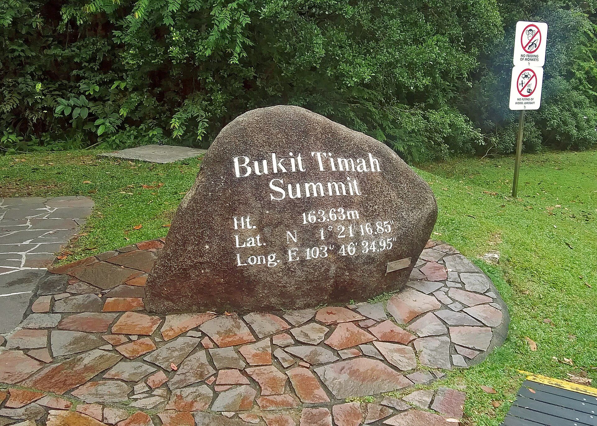
Bukit Timah Nature Reserve: Choose Your Forest Walk
Choose a Bukit Timah route with official distances, summit access, Hindhede alternatives, opening hours and practical advice for the forest.
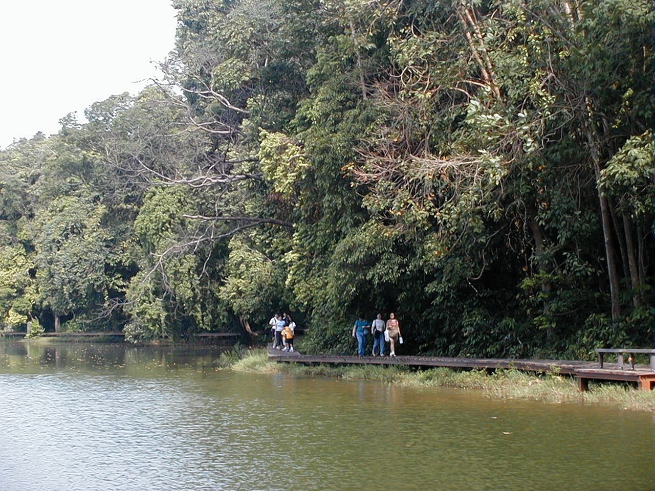
MacRitchie Reservoir: Choose Your Forest Walk
Choose a short reservoir walk or the longer TreeTop Walk, with verified distances, access points, bridge hours and practical planning.
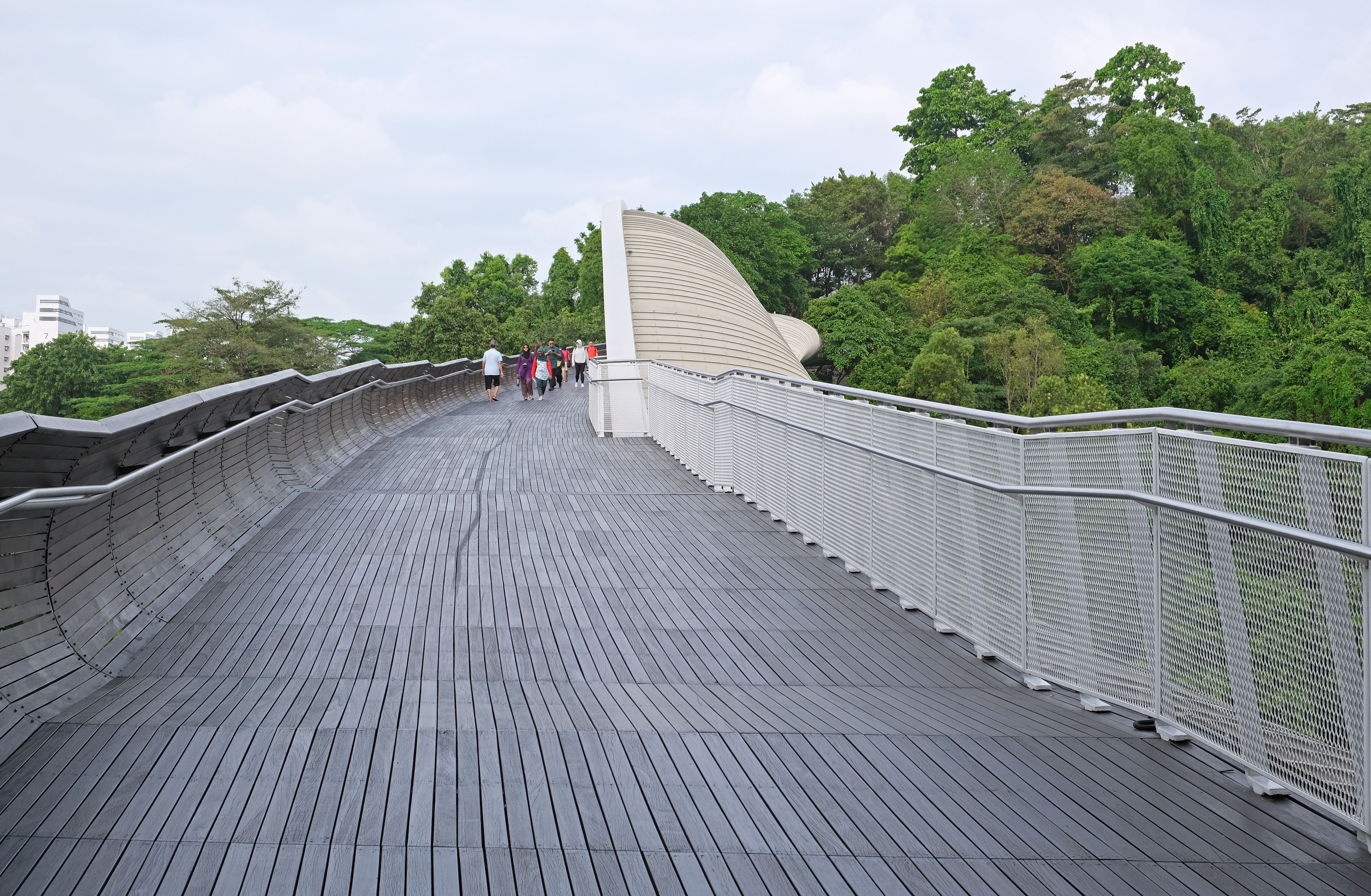
Southern Ridges Singapore: Choose Your Walk
Choose a Southern Ridges walk through Mount Faber, Henderson Waves or HortPark, with current diversions, access limits and daylight planning.