
Labrador Nature Reserve: Coast Walk and Closures
Plan a Labrador coastal walk around the Berlayar Creek closure, with maritime landmarks, reserve hours and practical access choices.
Visit Labrador for the coast, maritime history and a short nature outing, with a revised route during current works. The Berlayar Creek Boardwalk is closed from 3 June 2026, with completion expected on 31 March 2027. That removes the familiar mangrove approach from the station; it does not mean the entire adjoining park is closed.
The useful decision is whether the waterfront and historical setting interest you enough on their own. If the mangrove boardwalk is your main reason to travel here, choose another outing or wait for a confirmed reopening. For a broader shortlist, our Singapore highlights guide helps place this quieter coastal stop alongside the city's major attractions.
Information checked on 18 November 2026. Completion dates are forecasts, not reopening guarantees. Walking allowances below are editorial estimates, including pauses, rather than official trail durations.
Fast facts
| Detail | What to plan around |
|---|---|
| Location | Along Labrador Villa Road, Singapore |
| Nearby station | Labrador Park MRT |
| Nature reserve hours | 07:00–19:00 |
| Wider nature park | Open 24 hours, subject to local restrictions |
| Current major closure | Berlayar Creek Boardwalk, 3 June 2026–expected 31 March 2027 |
| Main visit idea | Coastal park, Dragon's Teeth Gate replica and maritime context |
| Suggested allowance | About 1.5–2 hours for a relaxed coastal outing and approach |
| Access priority | Follow the official diversion; review barriers and signs on arrival |
The NParks visitor page distinguishes the reserve from the surrounding recreational park. Keep that distinction when planning: a park described as open all night does not give permission to enter protected reserve paths after their closing time.
Understand the closure before leaving your hotel
Save the official closure and alternative-route map. It marks the closed boardwalk in red and the alternative access in orange. Use this newer notice rather than following a saved itinerary that begins by walking through the creek's mangroves.
NParks describes the works as improvement and maintenance of the boardwalk and shelter. Its maintenance FAQ identifies Labrador Park MRT station as the nearest shelter while the pavilion is inaccessible. That matters in a downpour: do not build a wet-weather plan around stopping at the closed pavilion.
A sensible route has a clear turnaround point. Reach the coastal park by the marked alternative, explore the open seafront paths, and return by an authorised route. Treat any additional forest section as optional after checking local notices. This guide does not promise a continuous circuit through every named boardwalk, a visit inside the Casemate, an underground tunnel tour or access to the rocky shore and jetty.
Arrive via Labrador Park MRT, with time for the approach
Labrador Park is the station named by NParks. The station and waterfront are separate parts of the journey; arriving by train is not the same as arriving at the sea. Allow extra time for the diversion, especially when walking with children or anyone who needs frequent rests.
Look at both the park map and the closure map before choosing your approach. At the station, follow the current signed alternative towards the park rather than using a navigation app's shortest line through the closed boardwalk. If a proposed path meets a barrier, backtrack to the authorised route. Do not try to recover time by crossing a worksite or scrambling down a slope.
A taxi can reduce the approach, but give the driver an identified legal drop-off near the open park access. Avoid simply naming a distant landmark and expecting a car to reach it. For a wheelchair or pushchair, confirm that the drop-off connects to the route you actually intend to use; an accessible destination can still have an unsuitable approach.
Make the maritime landmarks the centre of the walk
Dragon's Teeth Gate gives this outing a story beyond sea views. According to the NParks landmark description, the original granite outcrop helped mark the western entrance to Keppel Harbour. It was removed in 1848 to widen the shipping channel. The structure seen today is a symbolic replica, installed in 2005.
Pause here to connect the landmark with the water in front of you. The harbour setting is part of the attraction: navigation, trade and defence explain why this headland mattered. The nearby red steel beacon belongs to that maritime story too. Neither feature needs a long visit, but both reward more than a photograph taken while hurrying between map pins.
Keep expectations grounded. This is a coastal park beside an urban harbour, not a remote island beach. Choose it for the combination of vegetation, water and historical markers. If you mainly want sand and a long beach afternoon, this outing answers a different need.
Add war history without promising access to every relic
The NParks war-relics guide describes pillboxes, the old fort entrance, battery remains and ammunition-related structures. Some features can be interpreted from outdoor paths; an entry in a heritage guide is not proof that its interior is currently open.
One detail improves the visit: the gun displayed at Labrador was discovered at the former Beach Road Camp and relocated. It should not be described as an original gun that has remained in exactly this position since wartime. Likewise, the tunnels are not a walk-in attraction. NParks restricts their access to its tours; this guide does not establish that a tour is available on your date.
For wider context, the National Heritage Board's Labrador Battery account explains the battery's multi-ethnic personnel and role in the 1942 fighting. Read that account before the walk, then use the landscape to understand the position. You do not need to enter an ammunition store to appreciate why the harbour entrance required protection.
Choose nature paths according to the day's access
The current NParks visitor page also lists Keppel Coastal Trail, an elevated accessible boardwalk through restored coastal forest. This is a different feature from Berlayar Creek Boardwalk. Do not transfer the creek closure to every path with “boardwalk” in its name, or assume that one listed feature makes every neighbouring route open.
Use the entrance information to decide which open section fits your group. A brief stop to listen and look can be more rewarding than adding distance. Birds and squirrels are possibilities, not scheduled encounters; keep food packed away and give animals space. Stay on the marked paths rather than seeking a closer view across roots or shoreline vegetation.
For a longer active outing, compare our Southern Ridges route guide. Treat it as a separate walking decision with its own access checks. Joining every green area on a map can turn a relaxed Labrador visit into a tiring day with unnecessary road sections.
A workable short-visit plan
Start in daylight with the station approach and diversion. Make the coast your first objective, then spend time around the maritime landmarks and whichever open paths suit the conditions. If everyone is comfortable, add an outdoor heritage stop; otherwise, the waterfront can remain the whole outing.
Our suggested 1.5–2 hours is a diary allowance, not a challenge to complete a fixed circuit. A photographer may want longer; a family dealing with heat may prefer less. Leave enough flexibility to turn around before fatigue makes the return unpleasant. A late-afternoon visit should still finish any reserve section before 19:00.
Do not book a meal across the city immediately after an optimistic finishing time. The diversion, rest breaks and return to the MRT are part of the excursion. A nearby meal afterwards can be convenient, but choose an actual venue and check its hours rather than relying on a restaurant symbol in an old park leaflet.
Heat, rain and access needs
Bring drinking water, sun protection and shoes suitable for wet outdoor surfaces. Carry only what you are comfortable taking around the whole route. If rain becomes heavy or thunder starts, leave exposed areas and follow local safety instructions; a canopy of trees is not a dependable storm plan.
NParks labels the park wheelchair accessible and elderly friendly, but that description should be read alongside the current diversion and the specific route. Avoid promising that every hill, historical structure and reserve path is step-free. Travellers needing a reliable step-free visit should confirm the approach, accessible facilities and return route before setting out.
The best version of Labrador during these works is deliberately modest: a coastal pause with a few meaningful historical stops. It still offers a different perspective on Singapore, provided the closed creek boardwalk is removed from the promise rather than hidden in a footnote.
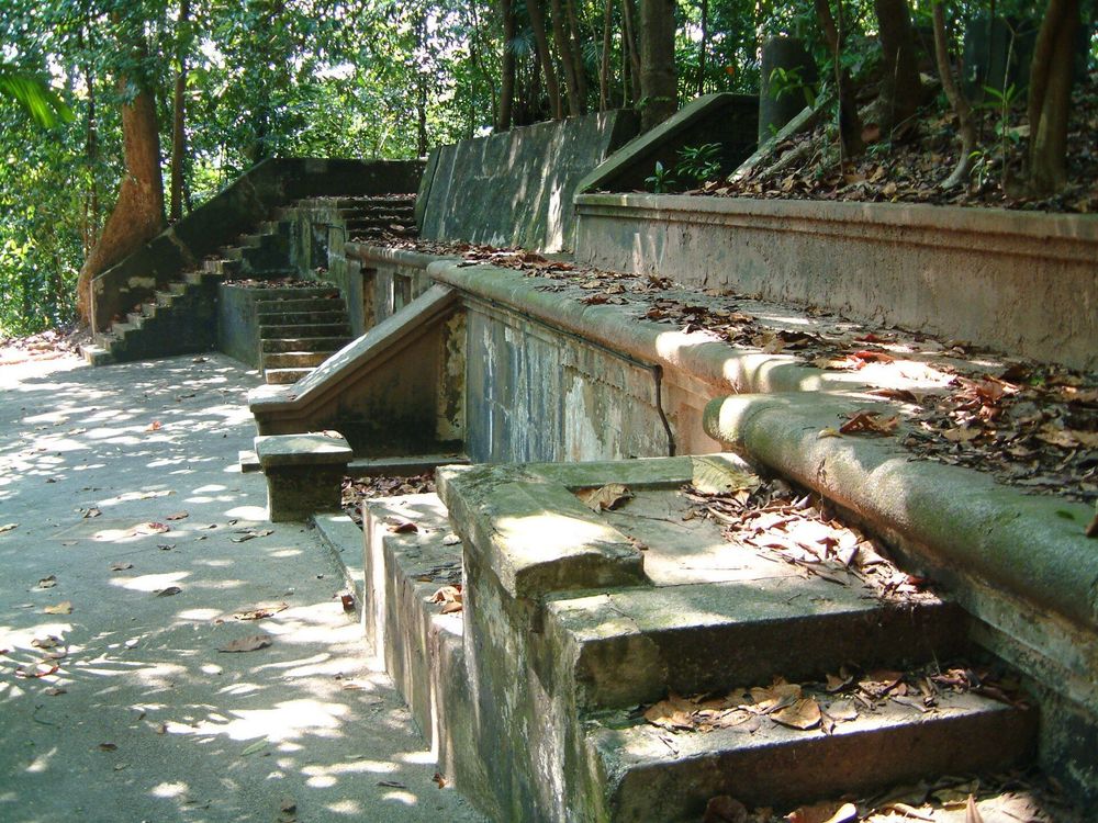
Exterior remains of the old fort at Labrador Park in Singapore, photographed in 2005. Photo: Calvin Teo / Wikimedia Commons. Historical photograph from 2005; current access may differ. Source · CC BY-SA 3.0.
Cover photograph: Exterior remains of the old fort at Labrador Park in Singapore, photographed in 2005 — Calvin Teo, CC BY-SA 3.0.
Frequently Asked Questions
Is Labrador Nature Reserve completely closed?
No. The major dated notice concerns Berlayar Creek Boardwalk. Plan around the open coastal park and official diversion, and check signs for restrictions affecting other sections.
When will Berlayar Creek Boardwalk reopen?
NParks gives 31 March 2027 as the expected completion date for works that began on 3 June 2026. Check for a confirmed reopening before relying on that route.
Can you visit Labrador after 19:00?
The wider park is listed as open 24 hours, but the nature reserve section operates from 07:00 to 19:00. This guide recommends a daylight outing.
Can you enter the tunnels independently?
No. NParks says the tunnels are closed to the public except through its tours. Availability of a tour must be confirmed separately; it is not included in this walking plan.


Keep Exploring
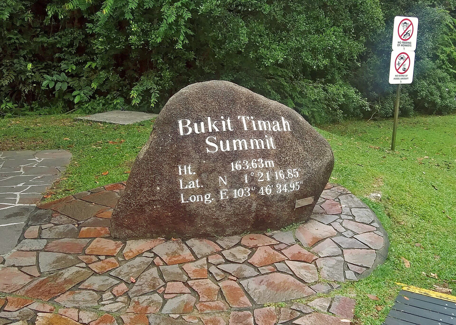
Bukit Timah Nature Reserve: Choose Your Forest Walk
Choose a Bukit Timah route with official distances, summit access, Hindhede alternatives, opening hours and practical advice for the forest.
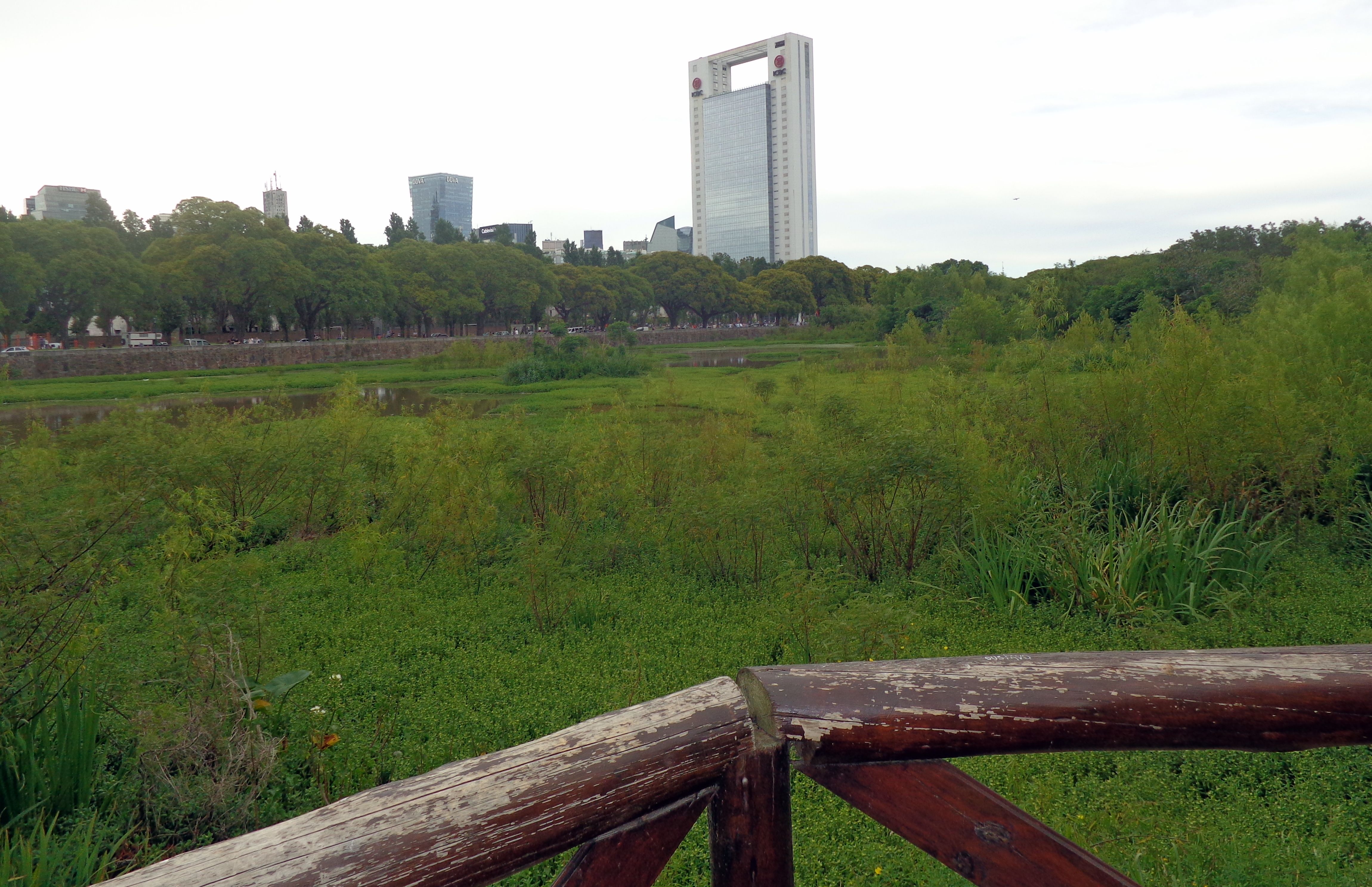
Costanera Sur Ecological Reserve: Plan Your Walk
Choose a short wetland walk or a longer river outing at Costanera Sur, with entrance advice, opening-hour checks and practical preparation.
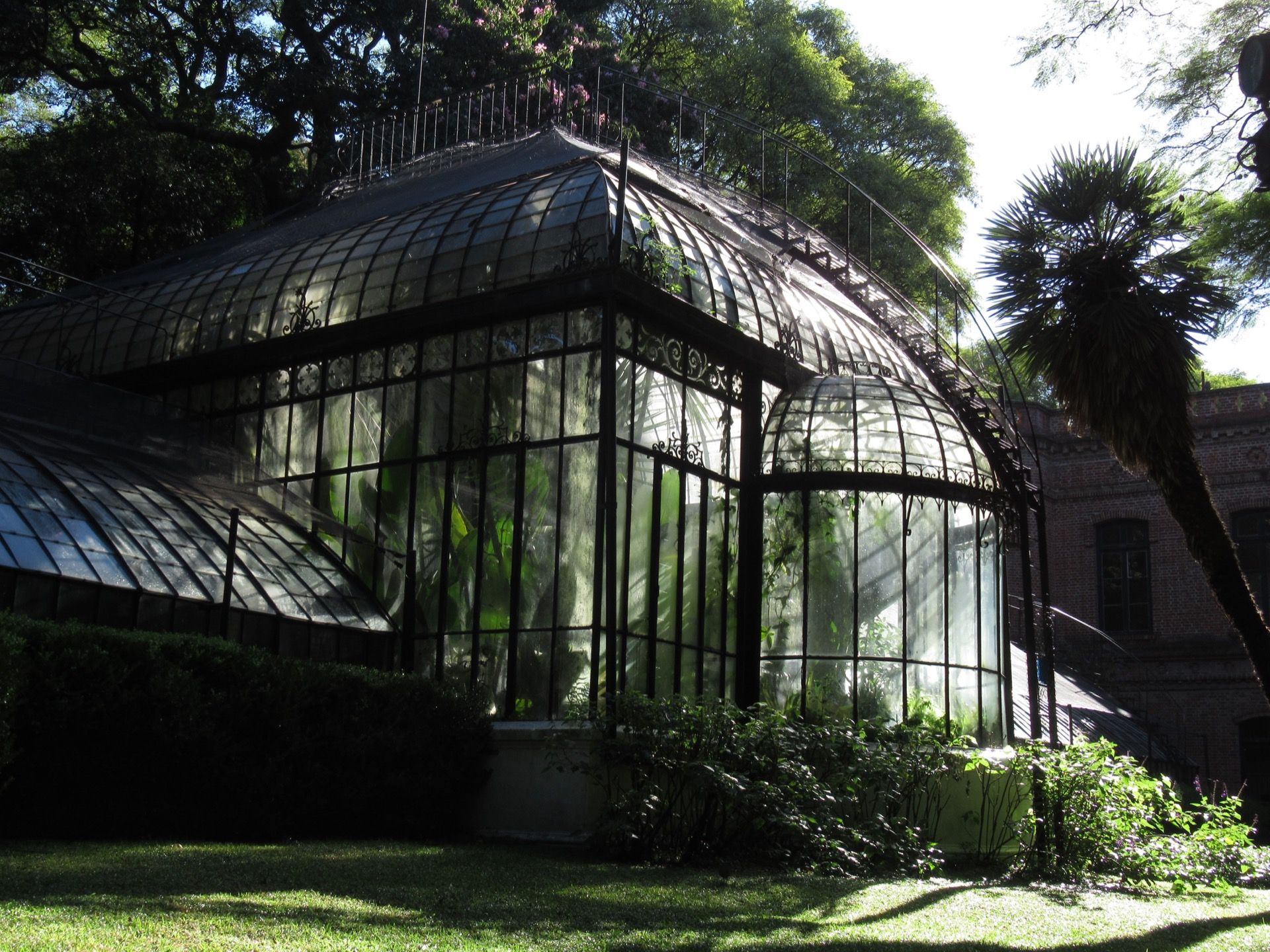
Buenos Aires Botanical Garden: Plan Your Walk
Choose a Carlos Thays Botanical Garden route, with seasonal hours, last entry, weather closures and the greenhouse access to check.