
Watsons Bay Sydney: Harbour, Beaches and South Head
Plan the ferry, Camp Cove and South Head Heritage trail, with the current works, steps, patrol seasons and the ocean-facing Gap.
Watsons Bay lets you combine a Sydney Harbour arrival, a sandy cove and a headland walk without turning the day into a long coastal hike. The important distinction is between the harbour side around Camp Cove, the South Head Heritage trail towards Hornby Lighthouse, and the ocean cliffs at the Gap. They are nearby, but they offer different experiences and should not be treated as one continuous beach promenade.
Choose the ferry journey and one main walk first, then leave room for lunch or time on the sand. A half day is a useful planning allowance for an unhurried outing from central Sydney; add more if swimming or a long meal is the priority. For the broader choice between harbour, museums and ocean beaches, start with our Sydney guide.
At a glance
| Choice | What to plan |
|---|---|
| Harbour beach | Camp Cove; check seasonal patrols on arrival |
| Lighthouse walk | South Head: 1 km loop, 30 minutes–1 hour, Grade 3 and many steps |
| Ocean cliffs | The Gap; use signed paths and keep behind barriers |
Choose the ferry service before the ticket
The public F9 Watsons Bay service connects Circular Quay with Watsons Bay, with Rose Bay on the route. Use the Transport for NSW route page and its trip planner for your date, direction and departure. Stop patterns can vary. A remembered journey time or a timetable screenshot is less useful than the actual sailing you intend to catch.
Public Sydney Ferries and private boats share the harbour, but their payment systems are not interchangeable. The official ferry payment guide says Sydney Ferries passengers tap on and off at the wharf's Opal readers. Private SeaLink/Captain Cook services use their own onboard payment devices, with OpalPay or card options. Using an Opal card on a private service does not automatically give you the full public-transport Opal benefits.
If you choose Captain Cook's Watsons Bay service, check whether the departure is a commuter service or part of the sightseeing programme, and which wharf it uses. Compare the full return arrangement, not just the next boat leaving. Different operators can make an outward trip appear simple while leaving you with a different fare or timetable for the journey back.
Save a preferred return and an earlier alternative before setting off. Leave space between reaching the wharf and a later booking in the city. If wind or service disruption makes a boat journey unsuitable, use the Transport for NSW planner to check a land route rather than assuming every ferry ticket includes a replacement journey.
Arrive at the harbour and decide how far to walk
The wharf brings you to the village's harbour edge. Robertson Park provides a useful pause between arrival and the next part of the outing, with Gap Park on the opposite side of the village. This is a good moment to decide whether the group wants a beach-led visit, the lighthouse walk or a shorter ocean-view excursion.
For Camp Cove, follow the local streets towards the beach and the signed national-park approach. Keep the residential setting in mind: the connection from the ferry is part of the outing, not part of the park's quoted loop distance. Food, a toilet stop and getting everyone ready for a walk also take time. The short length of the headland trail should not be used as the total duration of a Watsons Bay visit.
If someone mainly wants the ferry and a meal, they do not need to complete every path. Agree on a clear meeting place and return sailing if the group separates. For those who want both walking areas, visit South Head from Camp Cove and return towards the village before adding the Gap; do not imagine an informal shortcut across restricted land or cliff edges.
Camp Cove for sand and a harbour outlook
Camp Cove Beach has a kiosk, toilets, showers and drinking water listed by the council. It is a harbour beach, so the outlook and atmosphere differ from Sydney's ocean surf beaches. It works as a place to sit before the headland walk even if nobody intends to swim.
Patrols are seasonal. The council lists lifeguards on weekends from the last weekend of October through the Anzac Day long weekend, with daily coverage during the December–January school holidays. It also warns that weather or staffing can prevent the service operating. Check the actual patrol and conditions on arrival; a calm-looking cove is not a guarantee of safe swimming.
The council identifies accessible parking at the Cliff Street car park and a beach-access mat rolled out during the summer months. Confirm the mat's availability if it is essential to your visit. These beach facilities do not make the South Head trail step-free. Dogs are prohibited at Camp Cove, and ordinary pets are also excluded from the national-park walk.
Follow the South Head Heritage trail to Hornby Lighthouse
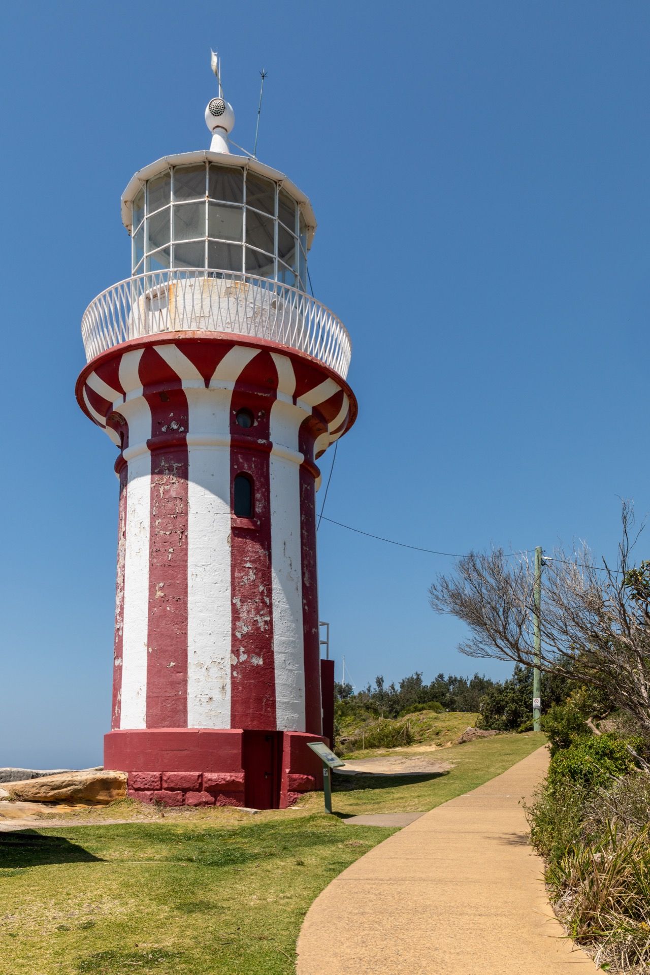
The South Head Heritage trail is listed by NSW National Parks as a 1 km loop, with 30 minutes–1 hour suggested for the walk. It starts at Camp Cove and follows a historic cobbled section past Lady Bay towards the red-and-white Hornby Lighthouse. The headland brings harbour and ocean views together, with military remains adding context to its strategic position.
Despite the short distance, the formal classification is Grade 3. The visitor information describes a formed, signed track with gentle hills and many steps. Choose footwear for uneven ground and keep children close around rocky ledges. This is a short walking route, not a wheelchair-accessible waterfront circuit.
Lady Bay is a designated nude-bathing beach. You can continue along the trail without making it a beach stop; respect people's privacy when taking photographs. At Hornby, enjoy the exterior and surrounding views without assuming that reaching the lighthouse includes admission inside the tower. The walk is worthwhile for its setting even when a structure is not accessible.
What the current South Head works mean
The trail page checked on 9 November 2026 says the route remains open while military structures undergo repair and safety work during 2026–2027. The separate project update schedules construction from late 2026, with completion expected in early 2027. These are project expectations, not a promise that every historic feature will be accessible on a particular day.
Check the South Head local alerts before travelling and read the location named in each notice: North Head and South Head are different places. An open trail does not authorise entry into fenced works or military structures under repair. Follow the signs on site.
This distinction helps keep the plan useful. You can choose the headland for the open walking route and views while treating access to individual gun emplacements as conditional. If the route later closes, keep Camp Cove and the village only if their own access and weather remain suitable, or choose a different Sydney day altogether.
Add the Gap for ocean cliffs, not another beach
The Gap offers the ocean-facing contrast to the harbour arrival. The council's Watsons Bay nature trail starts at the stairs opposite Robertson Park, continues along the coastal path and returns through fig trees via Dunbar Road. Its suggested reflective route is 750 m, taking around 40–50 minutes with the activities along the way.
You can choose a shorter visit to an open lookout rather than complete that whole trail. Keep to the formal paths and behind barriers. The appeal is the contrast between the exposed coast and quieter vegetation; there is no need to approach an edge for a worthwhile view. The presence of stairs also means this alternative is not automatically a solution for someone avoiding steps on South Head.
In strong wind or wet weather, both the Gap and the headland may be poor choices even if the ferry still operates. A village meal does not turn an exposed-cliff plan into an all-weather outing. Decide whether the forecast supports the experience you actually want, and keep an indoor Sydney alternative available.
Make the day fit your priorities
For a walk-led visit, go from the wharf to Camp Cove, complete the open South Head route, then return for food. Add the Gap only if daylight, conditions and energy support it. For a beach-led visit, make Camp Cove the main stop and keep the lighthouse optional. For a shorter outing, the ferry, Robertson Park and an accessible-to-you open viewpoint can be enough.
Bring water and sun protection before starting the headland section, and leave your main meal flexible unless a particular restaurant is the reason for travelling. A long lunch reservation and an ambitious walking list can compete for the same afternoon. Our free Sydney guide helps compare other outdoor and cultural choices; transport and food remain separate costs even when the outing focuses on public spaces.
Cover photograph: Red-and-white Hornby Lighthouse beside the South Head walking path — Dietmar Rabich / Wikimedia Commons, CC BY-SA 4.0. Resized proportionally; no crop.
Frequently Asked Questions
How long is the South Head Heritage trail?
NSW National Parks lists a 1 km loop with 30 minutes–1 hour suggested walking time. Add the connection from Watsons Bay Wharf, beach stops and food. The track is Grade 3 with many steps.
Is South Head open during the military-structure works?
The official trail page checked on 9 November 2026 says it remains open during the 2026–2027 works. Individual structures can be restricted. Recheck the trail notice and South Head alerts before travelling.
Can I use Opal on every Watsons Bay ferry in the same way?
No. Public Sydney Ferries use wharf Opal readers; private services can use OpalPay or card payment onboard. Fares and benefits differ, so identify the operator and check the return service before boarding.
Is Camp Cove always patrolled?
No. Council patrols are seasonal weekends, with daily service during the December–January school holidays, and can be affected by weather or staffing. Confirm the patrol and swimming conditions on arrival.


Keep Exploring
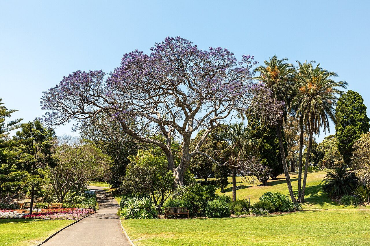
Royal Botanic Garden Sydney: Choose Your Walk
Choose a botanical walk, harbour route or Gadigal cultural experience, with useful gates, seasonal hours and Calyx closure checks.

Taronga Zoo Sydney: Ferry, Tickets and Visit Plan
Choose an upper- or lower-entrance route at Taronga Zoo Sydney, plan the ferry and focus on selected habitats. Includes the current Sky Safari closure and ticket distinctions.
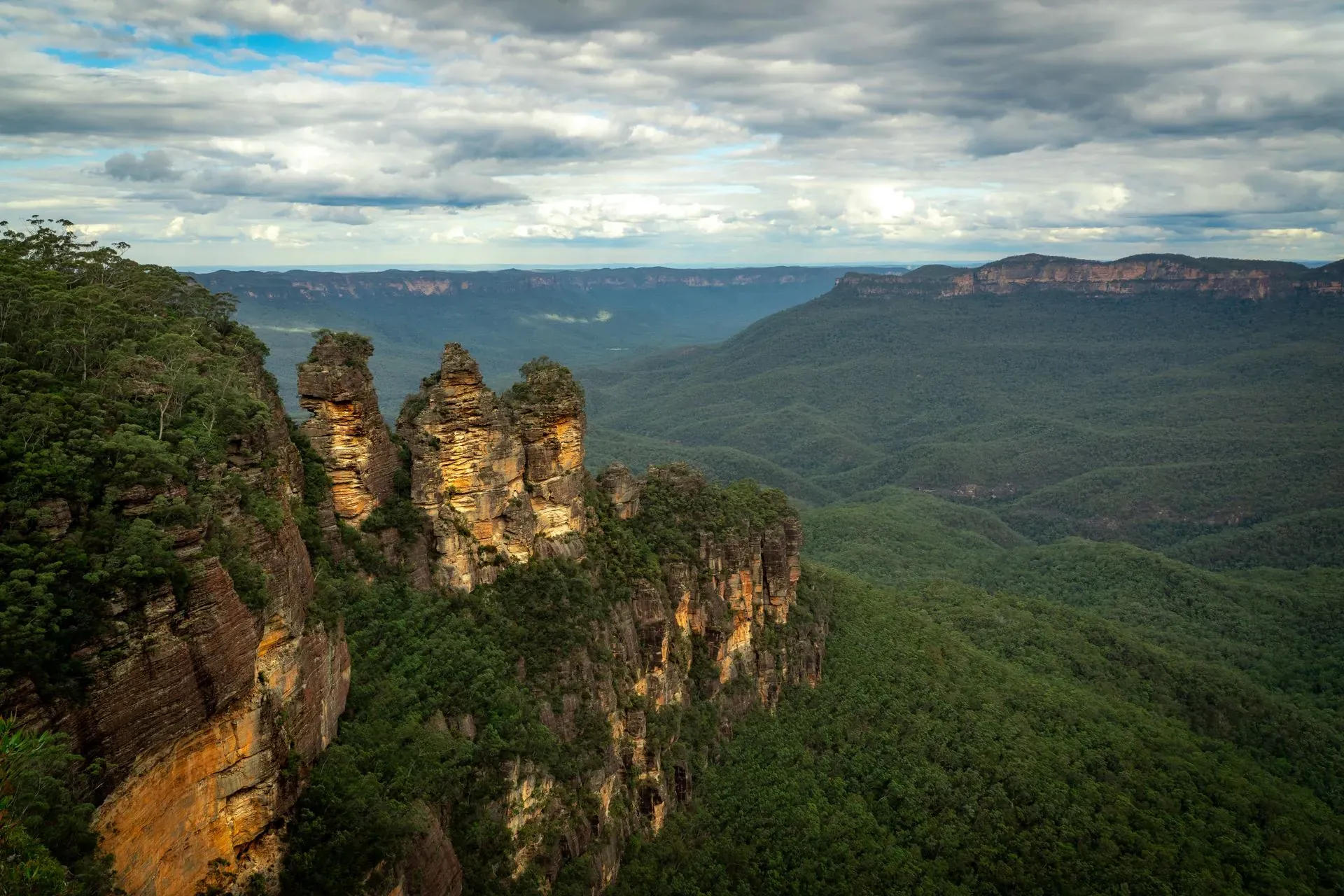
Blue Mountains from Sydney: Plan a Day Trip
Keep a Blue Mountains day around Katoomba, choosing between a lookout, a walk and Scenic World while allowing for transport, weather and access conditions.